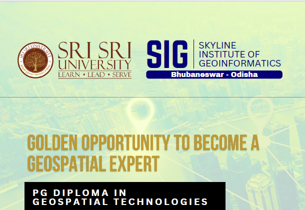
Post Graduate Professional Diploma – University Program
About Course
Embark on a transformative educational journey with our specialized one-year Postgraduate Diploma (P.G. Diploma) in Geospatial Technology. Designed to equip students with cutting-edge knowledge and skills in geospatial technologies, this program is delivered through an exclusive collaboration between Sri Sri University and Skyline Geoinformatics, two leading institutions committed to excellence in education and innovation.
Program Overview
Our one-year P.G. diploma course offers a comprehensive blend of theoretical foundations and hands-on practical experience in the field of geoinformatics. The curriculum is tailored to meet the demands of the rapidly evolving geospatial industry, ensuring that students graduate as industry-ready professionals.
Course Highlights
Expert Faculty: Learn from experienced academicians and industry professionals who bring real-world insights to the classroom.
State-of-the-Art Infrastructure: Access advanced geospatial software, tools, and laboratories for a hands-on learning experience.
Industry Collaboration: Gain exposure to real-world applications through projects and internships facilitated by Skyline Geoinformatics.
Comprehensive Curriculum: Covering the latest advancements in geospatial science, remote sensing, GIS, and data analysis.
Key Topics Covered
Introduction to Geospatial Science: Understanding the fundamentals of geoinformatics and its applications across industries.
Geographic Information Systems (GIS): Hands-on training in GIS software for spatial data analysis and visualization.
Remote Sensing: Techniques for capturing, analyzing, and interpreting data from satellite imagery and other remote sensing platforms.
LiDAR Technology: Principles and applications of Light Detection and Ranging (LiDAR) in terrain mapping and 3D modeling.
Digital Photogrammetry: Processing and interpreting aerial photographs for precise measurements and mapping.
UAV/Drone Technology: Exploring the use of drones for geospatial data collection and analysis.
Web GIS: Practical training on platforms like Google Earth Engine for spatial data visualization and analysis.
Global Positioning Systems (GPS): Exploring positioning and navigation systems, including GPS and other satellite-based tools.
Geospatial Data Management: Techniques for collecting, storing, processing, and managing spatial data.
Applications of Geospatial Technology: Exploring real-world applications in urban planning, environmental management, agriculture, disaster management, and more.